When we left Calgary, we returned to the United States and Glacier National Park in Montana. Our first two nights were at the Many Glacier Hotel, the only hotel on the eastern side of the park. It’s quite a few miles inside the park, and there are multiple hiking opportunities nearby.
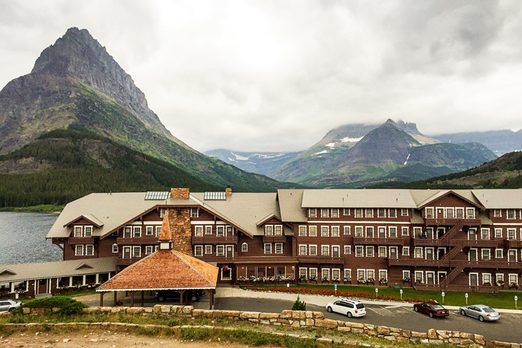
The hotel opened in 1915, and although some renovations have been made over the years the original rustic nature of the hotel and its rooms remain. When we reserved a room last October, we got the last room in the hotel, but were told to call back two weeks before our arrival to see if a lakeside room opened up. Luckily, it had, and we had a lovely view of Swiftcurrent Lake. Sadly, it was too chilly and windy to make use of the balcony. The room was very small and quite basic, but the hotel itself has a wonderful air of elegance.
We hiked around Swiftcurrent Lake as well as two adjoining lakes–Josephine and Grinnell. My favorite hike here was to Apikuni Falls. It was a cloudy, misty morning, but great for photographs.
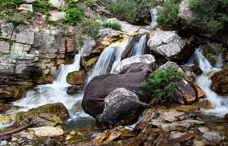
The main attraction at Glacier Park is the Going to the Sun Road which crosses the park east to west. The highest point is Logan Pass.
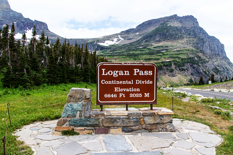
We stopped there to hike to Hidden Lake. No one was allowed to hike down to the lake since grizzly bears were feeding on the fish in the area.
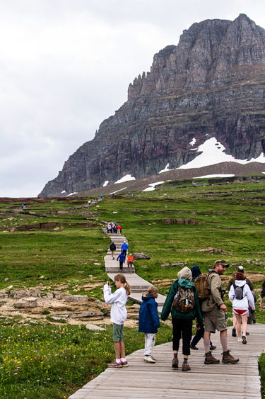
Unlike most of the trails we hiked, most of this one was a boardwalk, created to protect the delicate alpine environment.
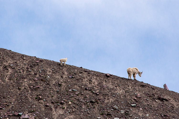
On our way up we spotted some mountain goats.
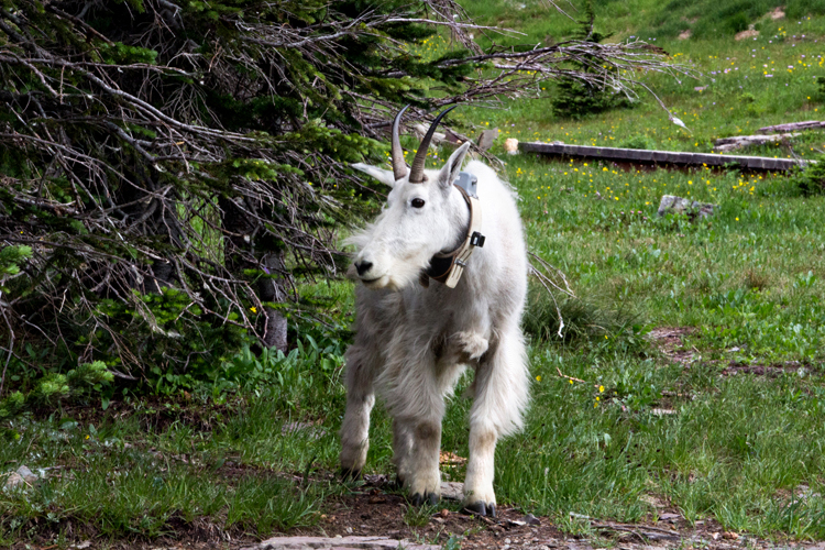
But when we got to the end of the trail there were quite a few goats very close to the trail. You’ll notice their collars. The goats here are part of a research study tracking their movements.
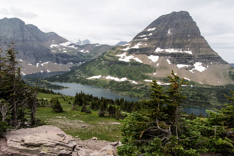
Hidden Lake from the top of the trail. Although I’m sure the trail down to the lake would have been lovely, it would have taken the better part of the day to have done the whole trail. We went on to hike two other trails off the Going to the Sun Road.
We spent that night in Whitefish, Mt. which we loved. It’s a ski center in the winter. The next day we drove to Missoula, Mt. It’s a beautiful drive past Flathead Lake, the largest fresh water lake west of the Mississippi.
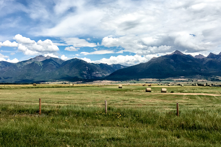
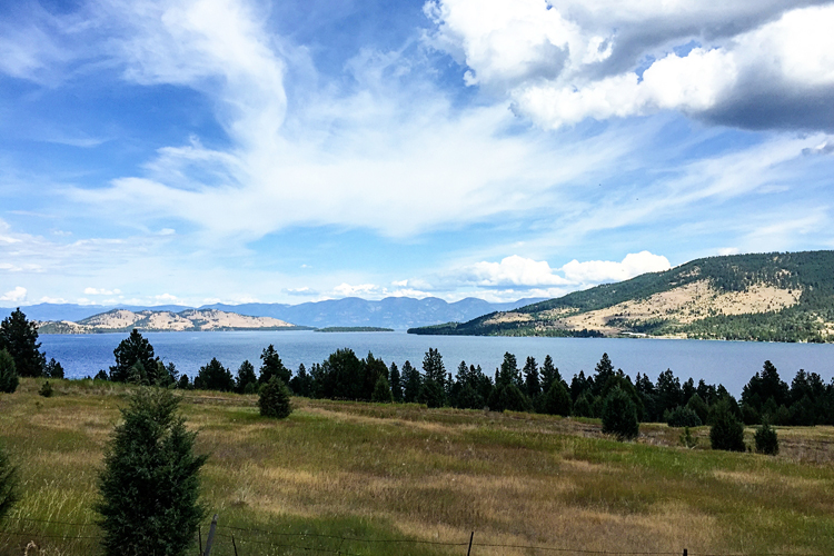
We spent the better part of a day back in Glacier at Two Medicine hiking to Aster and Rockwell Falls, and then driving on to Waterton Lakes National Park in Canada. Waterton is actually an extension of the same mountains as Glacier but on the other side of the border.
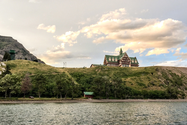
One of the most striking hotels we saw was The Prince of Wales Hotel in Waterton. Like Many Glacier it was built in the early 1900’s.
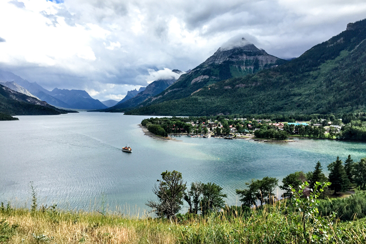
This is the amazing view from the hotel. We couldn’t afford to stay there, but we did have a lovely dinner in the bar sitting at the window looking out at this view.
We also took the boat tour to Goat Haunt which is actually back in the United States. You can see the boat in the photo above. It was a fascinating tour, and we learned a lot about the geography, climate, and plant and animal life in the area. One of the most interesting things we discovered was the cut line.
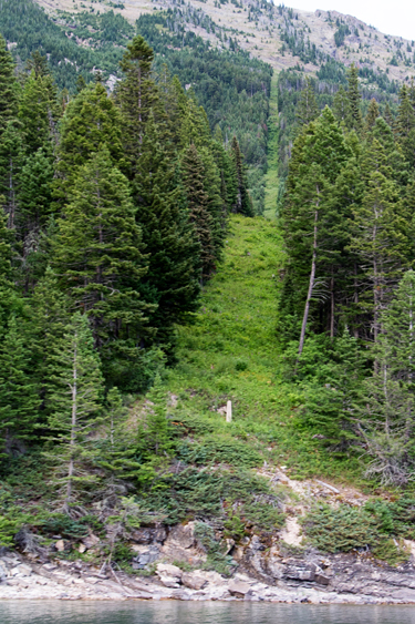
You can see a stone marker just above the shoreline. It indicates the 49th parallel which forms the border between the United States and Canada. A cut line is maintained from the Pacific Ocean to the Great Lakes marking this border. About every 15 years a crew goes through and recuts the line. Who knew?
what stunning views throughout your trip
Wow..it’s stunning. You know what I always say..I wouldn’t miss a post of your travel photos!
Gorgeous photos Karen! What fabulous scenery. Glad you had a good time. Interesting about the cut line:)
You know these photos are killing me . . . LOL – need to plan our next trip! We’re definitely going to do more hiking next time. Maybe we should plan it together? 🙂
We took a photo at that Logan Pass sign when we were there in 2010. It was rainy & really cold, but I insisted on having a photo beside the sign! (of course!)
Stunning photos! I read your travel posts and just want to go to all the places you have visited!
Beautiful photos. Several should be enlarged for home display (in my humble opinion).
What beautiful photos to feed my eyes on during what is a very wet and miserable day here. Not sure about those grizzly bears, glad you weren’t allowed down there! No I had not heard of the cut line.
Fantastic photos as always! In particular the waterfall. I am in awe.
Interesting about the cut line. Crew manned by both countries, or just the States?
The Canadian and American sections of the IBC (International Border Commission) work together to make sure that difference is crystal-clear. To maintain the six-metre vista, they are guided by a 15-year management plan that prioritizes work on 28 boundary segments according to the rate of growth of vegetation and the level of human activity. Some 2,172 kilometres of the boundary are forested, so there is a lot of work to do. The vista can get gnarly fairly quickly in verdant British Columbia or near waterways, so those areas are given a good brush with chainsaws every five years. In the prairies and along the 141st meridian separating Alaska and the Yukon, vistas can be left alone for longer periods. The Canada–U.S. boundary stretches for 8,891 kilometres, from the St. Croix River on the Atlantic Ocean to the Juan de Fuca Strait on the Pacific and from Dixon Entrance on the Pacific to the Arctic Ocean. The IBC maintains more than 8,000 monuments and reference points and keeps a six-metre-wide clear vista along the land boundary. And how does it keep that boundary clear and quiet? With weed whackers and wile.
That’s a great question. I don’t know who’s responsible for maintaining the cut line. I’ll try to find out.
Comments are closed.